Comparative Analysis Of Machine Learning Algorithms For Land Use And Land Cover Mapping: Case Study Of Berrechid-Settat Region, Morocco
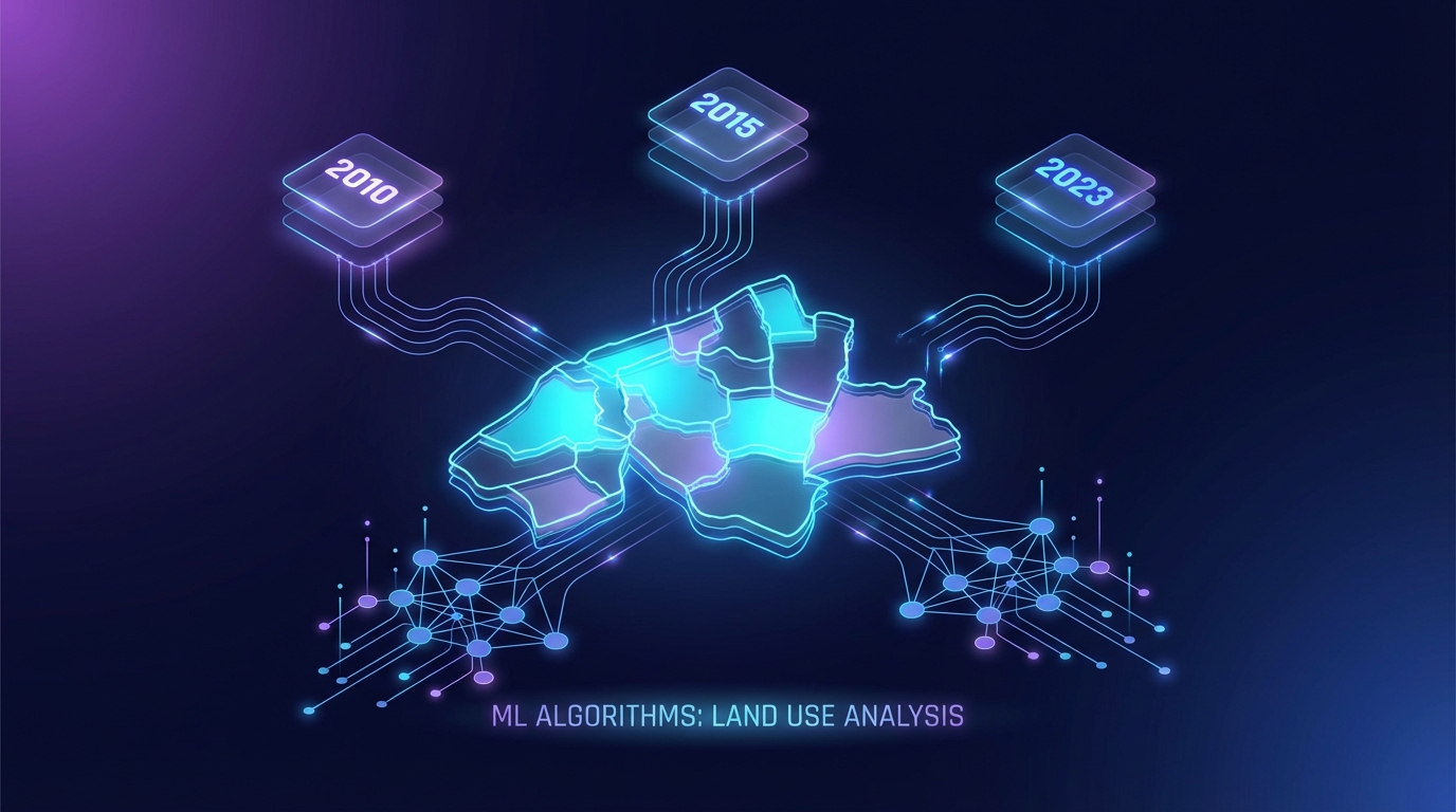
Image generated by Gemini AI
A study on land use and land cover (LULC) changes in Morocco's Berrechid-Settat area utilized Landsat satellite imagery and the Google Earth Engine for analysis across 2010, 2015, and 2023. The Random Forest model outperformed others, achieving 91.84% accuracy in 2023. Findings highlight the effectiveness of machine learning in regional planning and sustainable development strategies.
Machine Learning Algorithms Enhance Land Use Mapping in Morocco
A recent study focused on the spatiotemporal dynamics of Land Use and Land Cover (LULC) in the Berrechid-Settat region of Morocco, utilizing satellite images from Landsat 7 and Landsat 8. Researchers processed data through the Google Earth Engine (GEE), achieving significant advancements in LULC analysis.
The study evaluated the effectiveness of three machine learning models—Random Forest (RF), Decision Tree (DT), and Support Vector Machine (SVM)—to classify five primary LULC categories: water bodies, forests, urban regions, vegetation, and barren lands. The Random Forest model emerged as the most effective, achieving an Overall Accuracy (OA) of 91.84% and a Kappa Coefficient (KC) of 0.86 in 2023.
Comparison of Machine Learning Models
The performance of the models varied significantly across different years. The Decision Tree model recorded a competitive OA of 87.36% in 2010 but demonstrated instability in subsequent years. The SVM model excelled in classifying urban areas with an accuracy of approximately 94%, while struggling with forest classification.
The findings suggest that the integration of machine learning algorithms in remote sensing can significantly impact regional planning and land management policies in Morocco.
Related Topics:
📰 Original Source: https://doi.org/10.24057/2071-9388-2025-3980
All rights and credit belong to the original publisher.